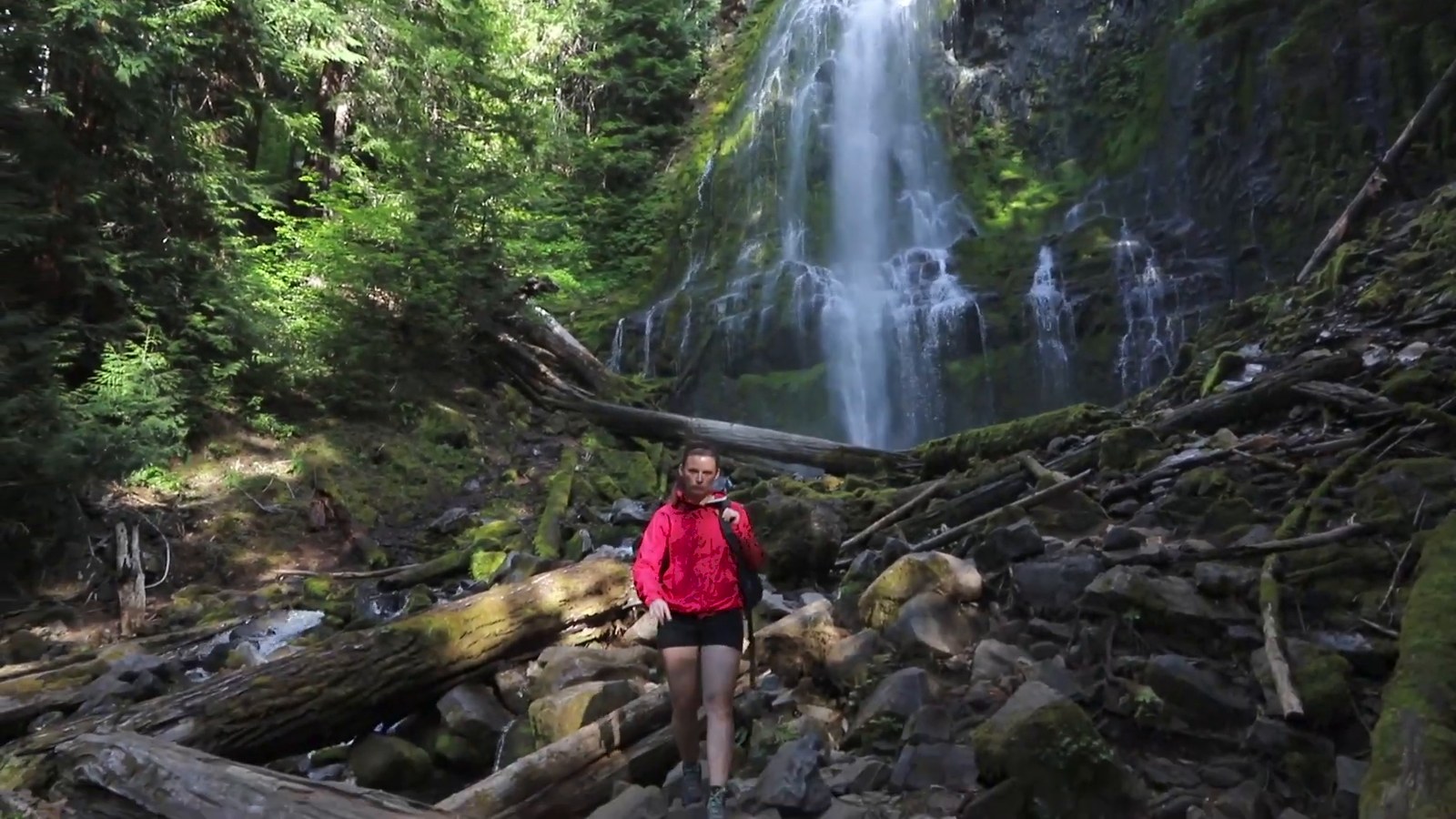
We spent about three and a half hours at Proxy Falls taking photos, with a drive to Bend still ahead of us. That sums up our Oregon itinerary fairly well: lots of waterfalls, lots of road, and a few decisions we should have made before leaving Los Angeles. If you’re planning a coast-first road trip, here’s the route we actually drove, where we spent our time, and what we’d change.
The short version: we drove from our home in Long Beach, California, up the coast and back in roughly twelve days by our count. The parts we’d plan better are lodging, trailheads and parking passes.
Our Oregon road trip route at a glance
- Day 1: Long Beach to Eureka, California, about 700 miles by our recollection.
- Day 2: Eureka and the redwoods, then across the border into Oregon and the Samuel H. Boardman State Scenic Corridor.
- Days 3–4: The Oregon coast, including lighthouses, Tillamook, Hug Point, Cannon Beach and Fort Stevens State Park.
- Day 5 onward: Two nights in Portland.
- After Portland: The Gorge, Hood River and Mount Hood, then central Oregon waterfalls including Proxy Falls, a night in Bend, Toketee Falls and Crater Lake.
We lost count after Portland, so only the early days are numbered.
We left Los Angeles in July and headed north quickly through California because the Oregon coast was the reason for the trip. After a first night in Eureka, we followed the coast from the Samuel H. Boardman State Scenic Corridor to Fort Stevens State Park. Then we turned inland along the Columbia River for two nights in Portland.
From Portland, we drove through the Columbia River Gorge to Hood River and Mount Hood, continued south to waterfalls in central Oregon, spent a night in Bend, and made Crater Lake our final Oregon stop. We extended the trip by a couple of days because we weren’t ready to head home; all told, we think it was roughly twelve days. It’s a useful route to borrow if you have around 10–14 days, though you may want more time at some of the stops we hurried through.
Los Angeles to Eureka: getting north fast
Usually we’d choose the scenic drive through California. This time, we’d already seen a lot of its coast, so we took the faster route up the middle of the state. We left before sunrise, were past San Francisco Bay after seven hours of driving, and stopped for coffee in Santa Rosa before reaching redwood country. As best we remember, that first day covered about 700 miles from our home in Long Beach before we called it a night in Eureka.
The next morning, we photographed Eureka’s Victorian houses, then continued through the redwoods. Seeing those trees in person was worth slowing down for: it’s hard to appreciate their size until you’re standing among them. We stopped for lunch at a bay north of Redwood National Park and crossed into Oregon on our second day on the road.
The Oregon coast, south to north
One of our first Oregon stops was the Natural Bridges area of the Samuel H. Boardman State Scenic Corridor. We’d seen photos of the sea arches on Instagram, but we hadn’t researched how to reach the viewpoint. We guessed the direction, went the wrong way, and ended up bushwhacking along a trail that wasn’t official or well traveled. We didn’t get lost, but some of it felt sketchy. We did reach a viewpoint, hiked down to it, and then had to hike back up.
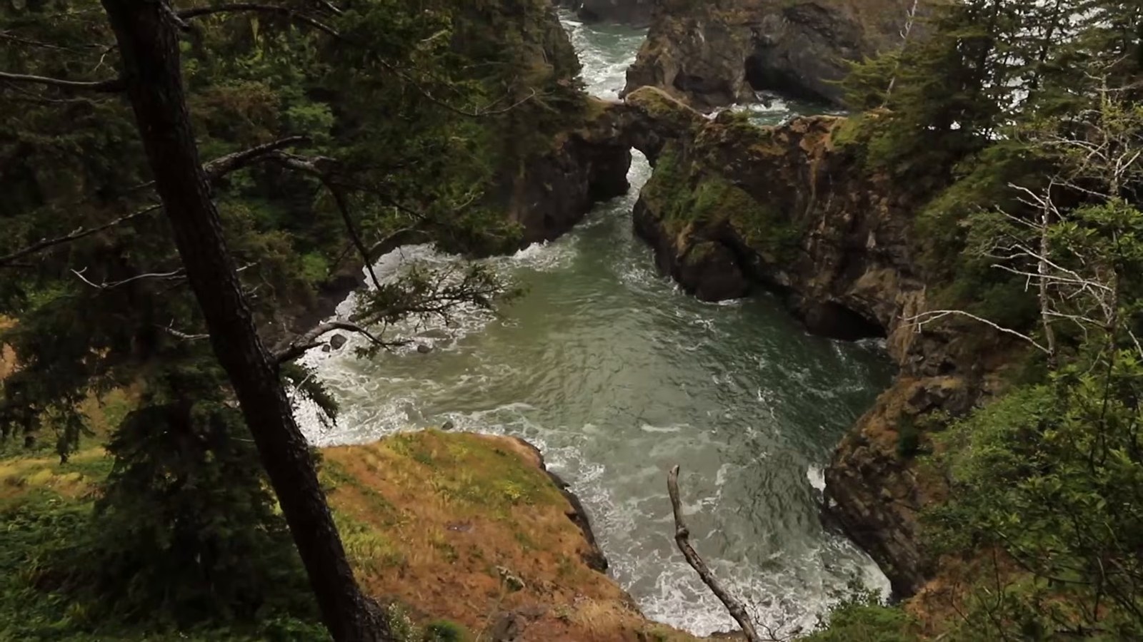
The arch itself sits a couple hundred feet above the ocean, and the route to it is exposed with a long fall if you slip. It’s a fairly straightforward hike if you find the right way and you’re a confident hiker, but the wrong way is a different story. Work out your route beforehand (Oregon State Parks is the place to check current trail and parking details) and wear hiking shoes with ankle support. The exposed, rocky terrain is no place to rely on a guess and flip-flops.
Farther north, we stopped at cold, rainy beaches and lighthouses. Near Newport, seafood started sounding especially good, and a crab shack appeared beside Highway 101 as if we’d wished it there. We never remembered its name, but the UFO on top was hard to miss, and the clam chowder in a sourdough bread bowl was incredible. Just up the road, we visited Yaquina Head Lighthouse.
Tillamook gave us a very different sort of stop: we looked down on the cheese factory’s assembly line and sampled cheese. Then, at Hug Point, a quick hike took us to a small waterfall that drops onto the sand. It wasn’t flowing much during our visit, but it was still a worthwhile break in the drive, with sea caves to explore nearby.
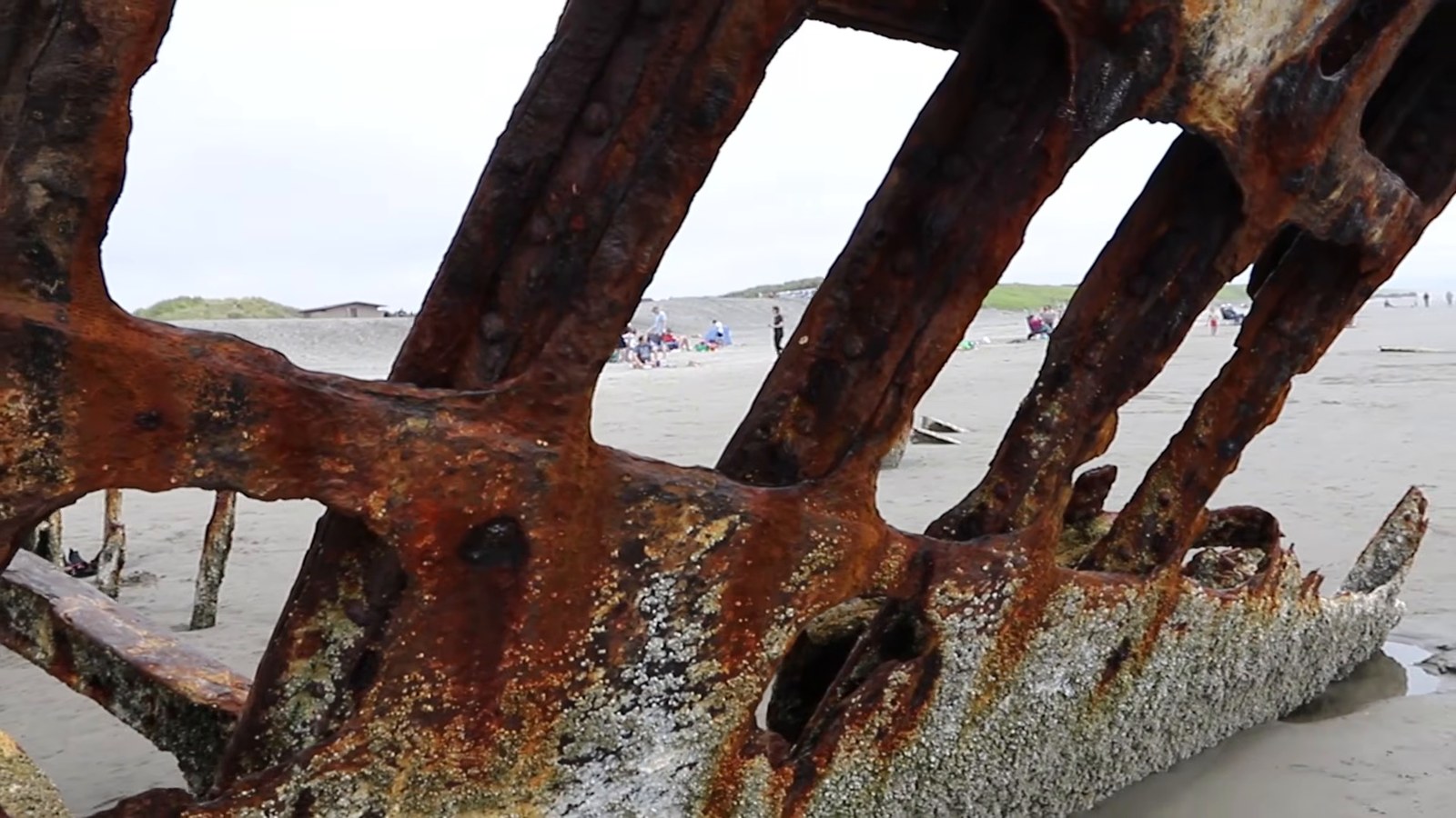
Next came Haystack Rock at Cannon Beach—the rock we recognized from the ’80s movie The Goonies. We wanted to drive the whole Oregon coast rather than turn toward Portland there, so we continued north to Fort Stevens State Park. We’d heard about a shipwreck near the parking area, and of course we went to see it. After that, we headed inland along the Columbia River.
Two nights in Portland, mostly spent eating
Our Portland plan had a fairly obvious theme. We started with breakfast at Bijou Cafe, tried Voodoo Doughnut and Blue Star, grabbed a slice at Sizzle Pie across from Powell’s City of Books, and later had sushi at Bamboo Sushi and a drink at Deschutes Brewery. Voodoo handed us an entire box for the one doughnut we bought—possibly because of our big camera—but Blue Star had our favorite doughnuts of the trip.
We did manage to fit activities between meals. Powell’s was enormous; its travel section alone could have kept us busy for hours. We used the city’s bike share to get around and toured the Shanghai Tunnels, where we saw a trapdoor and an old opium den. The tour included stories of people being kidnapped and sold onto ships, though we couldn’t verify how much of that history was true. It was a creepy change of pace from the doughnut stops, followed, naturally, by more food. If you only have a day there, our one-day Portland guide is a good starting point.
The Gorge, a lavender farm and Mount Hood
Leaving Portland, we drove the Columbia River Gorge on a summer Saturday. It was crowded and parking was hard to find (Multnomah Falls has required timed-use parking permits in recent summers, so check Recreation.gov before you pick a day). Multnomah Falls got a look from Kevin, who took photos, while we headed to other waterfalls along the way. At Horsetail Falls, someone pulled out just as we needed a space. We took the short, steep hike to the upper falls, where the trail passes behind the waterfall; it was worth the climb.
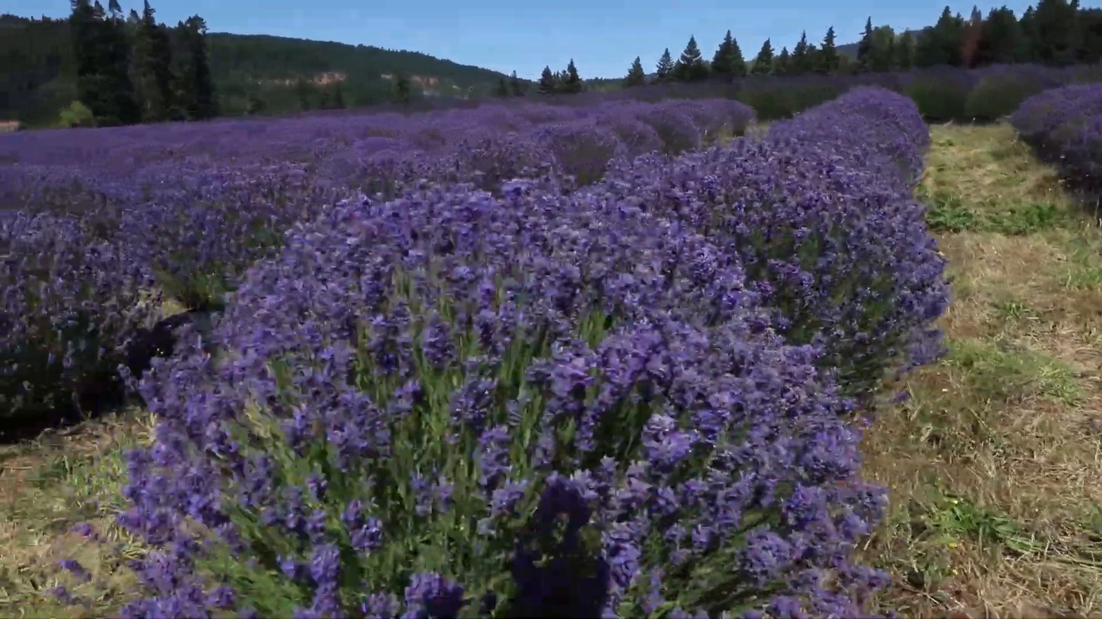
We continued to Hood River for lunch, then stopped at Lavender Valley just outside town. The lavender was blooming, Mount Hood stood behind it, and we spent a couple of hours there picking lavender. There were plenty of bees enjoying the farm too. From there we drove up Mount Hood, explored Timberline Lodge—used for the exterior scenes in The Shining—and walked to where the Pacific Crest Trail passes through.
Our flexible lodging plan was less successful. We’d hoped to mix hotels and camping without being tied to reservations, but near Mount Hood the campsites we found were full and we couldn’t find a nearby hotel. By our estimate, we drove another two to two and a half hours before finding a place to sleep. Freedom to change plans is lovely; searching for a bed after a full day out is not.
Proxy Falls, Bend and our last Oregon stop
On the way toward Proxy Falls in Willamette National Forest, we drove through a burn area and a huge lava field, with what seemed like thousands of orange-and-black butterflies along the drive. We stopped at the McKenzie River Trail for lunch, eating food we’d brought for the camping portion of the trip that hadn’t worked out.
Proxy Falls was one of our favorite stops anywhere in Oregon. Both the lower and upper falls were worth seeing, though we’d choose the higher lower falls if we could visit only one. The walk in is short, but rocks and roots make it a poor choice if you have knee or mobility trouble. We got our feet wet while exploring, so wear sturdy hiking shoes or shoes you don’t mind getting wet. We spent about three and a half hours there taking photos, and it was starting to get dark when we left, with about two hours of driving to Bend still ahead.
We were lucky to have our annual pass with us. Many Oregon trailheads need a pass to park, and at the trailhead we visited there was no place to pay. You were expected to have sorted a pass out beforehand, such as at a ranger station, and we could easily have gotten a ticket if we hadn’t had ours. For Proxy Falls specifically, the Forest Service currently lists a Northwest Forest Pass or an interagency pass as valid, mentions a self-serve payment machine on site, and notes that access depends on the McKenzie Highway (OR 242), which closes in winter. Check what the managing agency calls for before you set out, rather than trying to solve it from the parking lot.
After one night in a funky Bend motel, we picked up breakfast sandwiches and coffee and drove to Tumalo Falls, about twenty minutes out of town. We then headed toward Crater Lake, stopping to hike to Toketee Falls. The trail took us high above a gorge, but the way down to the waterfall was blocked off during our visit, so we stayed above it.
Crater Lake was our final stop in Oregon. According to the National Park Service, the lake formed after an eruption caused a tall peak to collapse about 7,700 years ago. We arrived late in the day and drove between a few viewpoints rather than spending time on a hike. Even with that short visit, the views were worth making it our last stop before the drive home.
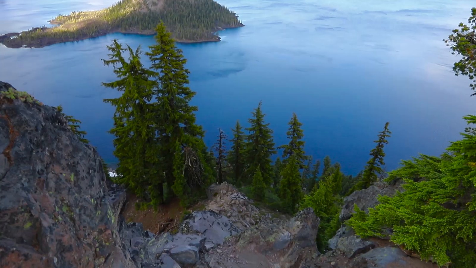
What we’d do differently
We’d book lodging earlier for a July trip, figure out the Natural Bridges route before arriving, and check trailhead parking requirements before driving out to the waterfalls. We’d also choose another day for the Gorge if we could; our summer Saturday made parking a bigger part of the experience than we wanted. If we added a hot spring next time, we’d plan it for sunrise. We wanted to visit one on this trip, but our lodging plans never lined up with that early start.
For current factory visit details, trailhead requirements and road access, check Tillamook’s visitor information, the Forest Service for Proxy Falls, Tumalo Falls and Toketee Falls, and Crater Lake National Park before you go. This was our western Oregon route, not an attempt to cover the whole state; for more ideas, see our guide to places to visit in Oregon. We’d happily drive the coast and spend those hours at Proxy Falls again. We’d just make reservations first.
Image credits: the photo of Proxy Falls used as the featured image is by the U.S. Forest Service, Pacific Northwest Region, in the public domain, via Wikimedia Commons (source). That photo was not taken on our trip. The other photos are stills from our own videos of Oregon.
