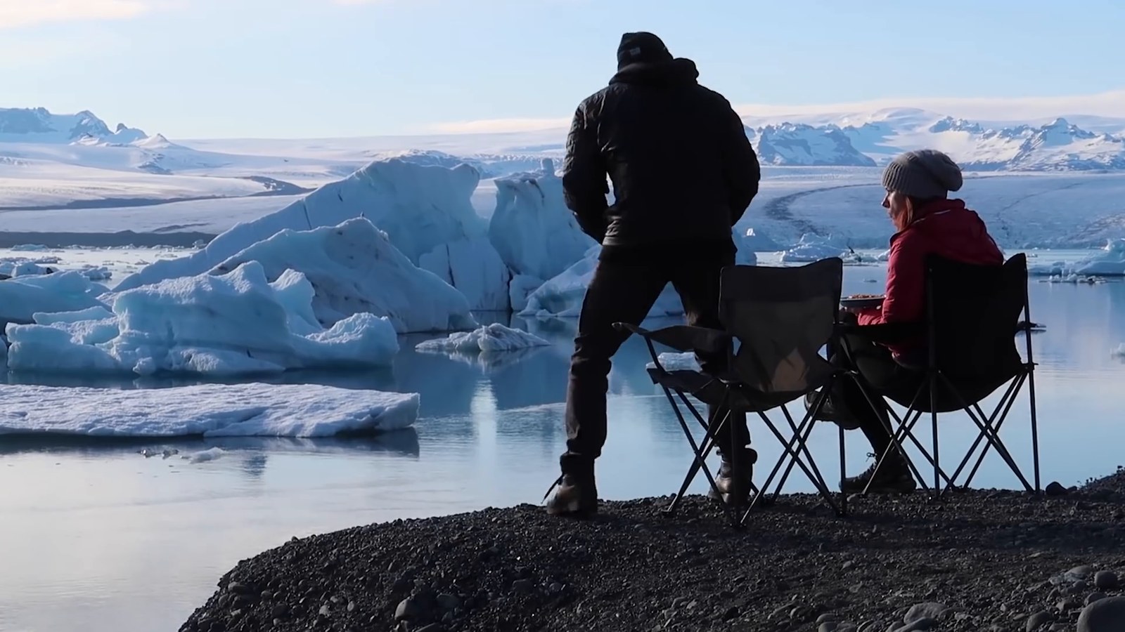
This is a 14-day Iceland Ring Road itinerary for a campervan, driven counter-clockwise from Reykjavik, with a Snæfellsnes loop, the Golden Circle and two built-in buffer days. Each day gives you the start and end point, the drive, what to stop for, what to cut if you are running late, where to sleep, and what to check before you go.
We drove most of this route in May 2021 as part of an 18-to-19-day trip, with about two weeks in a very small van. The plan below is not our trip replayed. It fixes the inefficiencies we hit (backtracking, a drone-repair detour, a breakdown on the first evening) and adds slack we didn’t have. The paragraphs marked From our trip are things we did. Everything else in each day is researched from official sources, and where our videos don’t cover a place I say so. That trip is now a few years old, so anything that can change (fees, opening dates, road status) is pointed to the official source instead of quoted.
About the van: Happy Campers, an Icelandic campervan rental company, provided our campervan for that trip. We said so on camera in the first video of our Ring Road series. The Happy Campers links in this guide are plain links to their website with no tracking code from us.
This site may contain affiliate links to products. We may receive a commission for purchases made through these links, at no cost to you
The plan at a glance
Assumptions: counter-clockwise, one campervan, 13 nights, a start and end in Reykjavik, and a trip in late spring or summer (see the May notes below). Driving times come from an OpenStreetMap-based routing service (OSRM, checked September 2026) and cover the drive only, with no stops, photos or weather. The “realistic day” lines on the longer days add sightseeing and meal allowances, which are my planning estimates (using our own durations where we recorded them). Treat all of it as a floor and check the day’s route on road.is before you leave.
| Day | Route and drive | Sleep |
|---|---|---|
| 1 | Reykjavik, Seljalandsfoss, Skógafoss (158 km, about 2.5 h) | Skógafoss |
| 2 | Kvernufoss, Sólheimajökull, Dyrhólaey, Reynisfjara, Vík, Fjaðrárgljúfur (113 km, about 1 h 45) | Kirkjubæjarklaustur |
| 3 | Skaftafell, Jökulsárlón, Diamond Beach (192 km, about 2 h 50) | Höfn |
| 4 | Vestrahorn, East Fjords coast road (194 km, about 3 h) | Stöðvarfjörður or Djúpivogur |
| 5 | Egilsstaðir, Seyðisfjörður (flex day) (127 km with the return, about 2 h) | Egilsstaðir |
| 6 | Dettifoss, Húsavík (250 km, about 3 h 45) | Húsavík (or a room) |
| 7 | Hverir, Mývatn area, Goðafoss, Akureyri (157 km, about 2 h 50) | Akureyri |
| 8 | Grafarkirkja, Hofsós (short day) (135 km, about 2 h) | Hofsós |
| 9 | Hvítserkur, Guðrúnarlaug (259 km, about 4 h) | Búðardalur |
| 10 | Stykkishólmur, Kirkjufell (126 km, about 2 h) | Grundarfjörður |
| 11 | Svöðufoss, Saxhóll, Arnarstapi, back to Reykjavik (274 km, about 4 h 15) | Reykjavik area (a room) |
| 12 | Golden Circle loop (245 km, about 4 h) | Reykjavik area |
| 13 | Buffer day, or Blue Lagoon (50 km to the Blue Lagoon, about 50 min) | Reykjavik area |
| 14 | Return the van, fly home (short) | n/a |
How the plan is shaped: the longest driving days (6, 9 and 11) are separated by lighter ones, day 5 and day 8 are deliberately short so a snowy morning or a slow start doesn’t wreck the schedule, and days 12 and 13 are flexible. Day 12 is the Golden Circle, and day 13 is a buffer for a day lost to weather earlier in the trip, or a Blue Lagoon day. If you lose no days, you can also finish early.
How this guide is put together: “we” and “I” describe our May 2021 trip. Facts about rules, roads and sites come from official sources, and I link them where they matter. The photos are stills from the videos we filmed on that trip, not separate photographs.
Before you start
- Direction: counter-clockwise, as we drove it. In our recap we said it was the most popular direction, so you will not be swimming against the traffic. Nothing in this plan requires it, and you can reverse the days.
- Month: this plan works best from late spring to summer. In early May 2021 we had snow on several days, some campgrounds had not opened, and the highlands were not part of the trip. See the campground opening dates below.
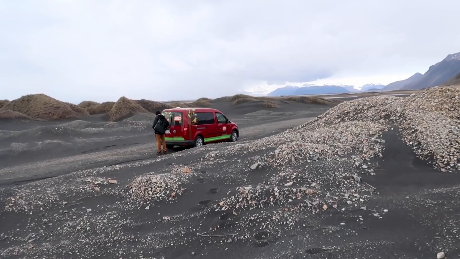
- Van size: we had the smallest van the company offered (a two-person automatic VW Caddy). It is cosy, cheap on fuel and small. Plan on a room every few days, as we did.
- Room nights: the plan puts days 11 to 13 in Reykjavik. Add a room on day 6 or day 7 if the weather is bad, which we did at Húsavík.
- Book ahead: the van, and your campgrounds where they take online bookings (Camp Egilsstaðir requires it in the high season, see day 5).
The 14-day itinerary
Day 1: Reykjavik to Skógafoss
- Route and drive: Reykjavik to Seljalandsfoss (128 km, about 2 h) and on to Skógafoss (29 km, about 30 min).
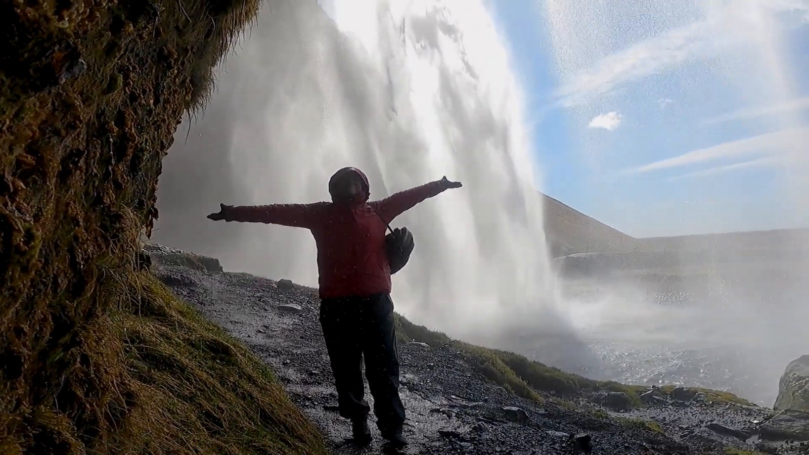
- Stops: pick up the van early and do a big grocery shop before you leave the city. Then Seljalandsfoss, where you can walk behind the waterfall, Gljúfrabúi around the corner, and Skógafoss.
- If the day is crowded: skip Gljúfrabúi.
- Sleep: the campground at the base of Skógafoss. In May 2021 it was open, with a toilet, running water and showers.
- Check first: waterfall parking and access rules change, and some sites charge to park. Check each site’s page and Safetravel.
From our trip: we picked up the van in the morning and did one big shop at Bónus that lasted us roughly a week. At Seljalandsfoss we found only three other cars in a lot with room for eight tour buses, and we got soaked, so bring a rain jacket and rain pants. Gljúfrabúi means walking through a shallow stream, on rocks other visitors have placed, and our boots kept our feet dry. The first-evening breakdown is in the van section below, and it is the reason to pick the van up in the morning.
Day 2: Skógafoss to Kirkjubæjarklaustur
- Route and drive: Skógafoss to Vík (35 km, about 30 min), Vík to Fjaðrárgljúfur (69 km, about 1 h), then Kirkjubæjarklaustur (10 km). About 1 h 45 of driving, plus short detours to Sólheimajökull and Dyrhólaey.
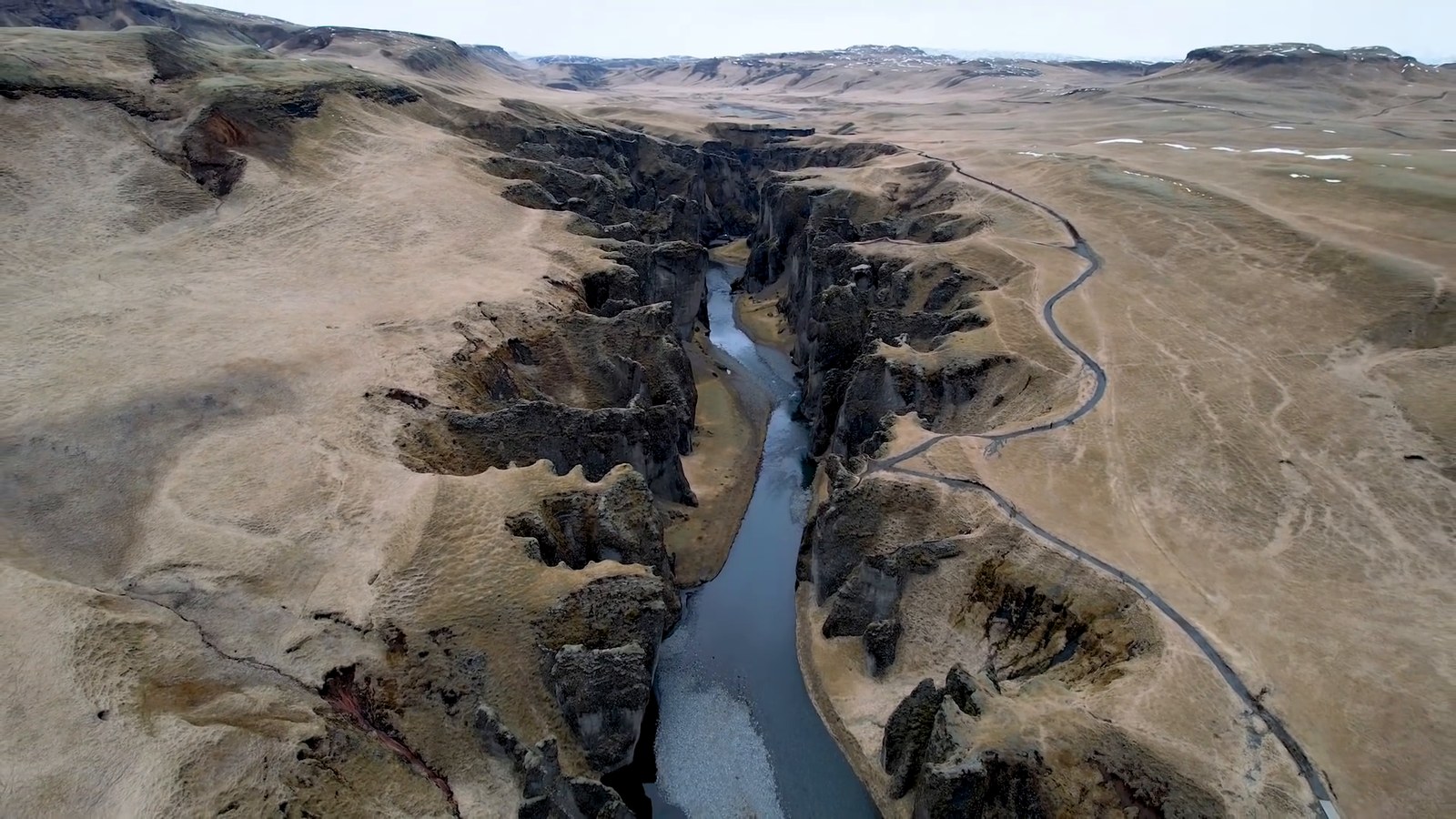
- Stops, in driving order: Kvernufoss (a short hike two minutes from Skógafoss, where you can walk behind the waterfall), Sólheimajökull (a wide path to the base of the glacier), Dyrhólaey (lighthouse and sea arch), Reynisfjara (basalt columns on a black sand beach), Vík, Fjaðrárgljúfur (a canyon).
- If the day is crowded: cut Kvernufoss and Dyrhólaey. Keep Reynisfjara and Fjaðrárgljúfur.
- Sleep: Kirkjubæjarklaustur has organised campgrounds, listed by the local tourist site. Or Vík, where we slept.
- Check first: Reynisfjara waves. Iceland’s official tourism site calls the beach stunning but unpredictable and asks visitors to keep a safe distance from the waves. Fjaðrárgljúfur can close: in April 2023 the Icelandic Environment Agency temporarily closed the area, including the path and car park, because the path was badly damaged by visitor numbers during the spring thaw.
From our trip: we did this stretch in a different order. We camped in Vík on May 5, when the campground was not due to open until May 15, so we parked next to a picnic table and cooked without facilities, and then backtracked about 20 minutes to Sólheimajökull the next morning. Doing Sólheimajökull on the way east, as above, saves that. At Dyrhólaey it was windy enough that our faces froze and we didn’t last long. At Reynisfjara we saw signs warning about waves creeping up the beach, and we watched for them. At Fjaðrárgljúfur we walked the path to the top, about a kilometre uphill with three viewpoints, while it was still cold and snowing. Kevin crashed our drone into the mountain at Kvernufoss trying a tricky shot, so fly with care near cliffs.
Day 3: Kirkjubæjarklaustur to Höfn
- Route and drive: Kirkjubæjarklaustur to Skaftafell (69 km, about 1 h), Jökulsárlón (57 km, about 55 min), and Höfn (65 km, about 1 h). About 2 h 50 in total.
- Stops: Skaftafell is part of Vatnajökull National Park and has a visitor centre. The park recommends starting at its visitor centres for updates on services, roads and weather. Then Jökulsárlón, the glacier lagoon, and Diamond Beach across the road, where icebergs wash up on black sand.
- If the day is crowded: cut Skaftafell and keep the lagoon for the best light of the day.
- Sleep: Höfn has a campground that its listing says is open all year. Höfn isn’t covered in our videos.
- Check first: Jökulsárlón is within the national park, whose site has a page on regional fees for Skaftafell and Jökulsárlón. Look at the park’s site for what applies now.
From our trip: we reached Jökulsárlón at the end of a long driving day, in nice light, with a one-pot dinner of macaroni and cheese with tuna in the van and the icebergs in front of us. It was getting late by the time we crossed to Diamond Beach, and it was one of the things I really wanted to see. This plan puts the lagoon in the afternoon instead of at the end of a long day.
Day 4: Höfn to Stöðvarfjörður
- Route and drive: Höfn to Vestrahorn (16 km, about 20 min), Djúpivogur (98 km, about 1 h 35) and Stöðvarfjörður (80 km, about 1 h 10). About 194 km, 3 h.
- Stops: Vestrahorn, a mountain that ends at the ocean beside a black sand beach, then the coast road through the East Fjords with its colourful lighthouses.
- If the day is crowded: stop at Djúpivogur. On the campground list published by the Camping Card, Djúpivogur’s campground (Bragðavellir) has a 2026 opening date of May 1.
- Realistic day: about 6.5 to 7 hours, with 3 h of driving, about 1.5 h at Vestrahorn, an hour of lighthouse and viewpoint stops, and a meal. It is a comfortable day in May and summer daylight.
- Sleep: Stöðvarfjörður, where we camped, or Djúpivogur.
- Check first: weather. The fjord roads were where our snow arrived.
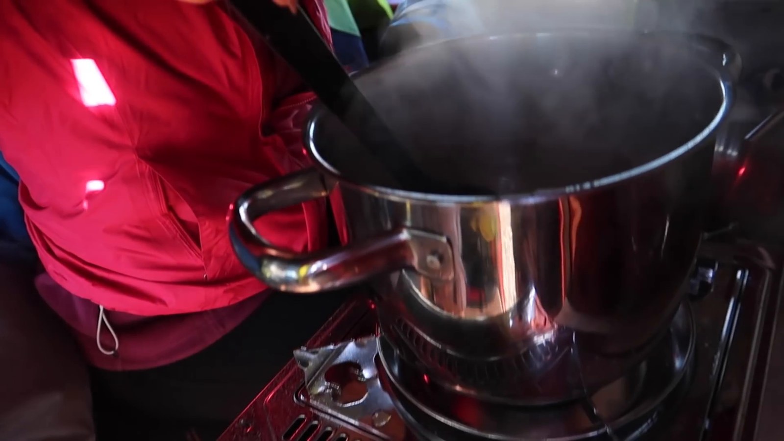
From our trip: we paid a small entry fee at Vestrahorn (no amount is given here because it was 2021), and a huge mountain ends right at the ocean beside one of the most beautiful black sand beaches we had ever seen. Kevin calls it probably his favorite place in the whole country. There is also an abandoned Viking-village movie set next to the entrance that you can visit for an additional fee (we can’t say what it costs now). On the coast road we saw orange lighthouses, a big herd of what we called caribou on camera, and hundreds of swans or geese, and it was the most scenic stretch of the Ring Road we had seen at that point. At our campground in Stöðvarfjörður it snowed in big fat snowflakes and was too cold to cook outside, so I sat in the front seat while pasta boiled on the one burner. The battery-run heater was a lifesaver.
Day 5: Stöðvarfjörður to Egilsstaðir, with Seyðisfjörður as a flex stop
- Route and drive: Stöðvarfjörður to Egilsstaðir (73 km, about 1 h), then Seyðisfjörður (27 km, about 25 min) and back. About 127 km, 2 h with the return.
- Stops: Seyðisfjörður, a small town at the end of a mountain pass, with a church at the end of a rainbow walkway. It is not on the Ring Road, and there is a ferry that lands there (the ferry operator, Smyril Line, lists Seyðisfjörður as one of its ports).
- If the day is crowded, or the weather is bad: skip Seyðisfjörður and use the day to rest, shop and do laundry. It is the most weather-dependent stop in the plan.
- Sleep: Egilsstaðir. Camp Egilsstaðir says it is open all year, and that in the high season (April to October) every spot must be booked and paid online. Or Seyðisfjörður, where the Camping Card list shows a 2026 opening date of April 1.
- Check first: the mountain pass conditions on road.is (or call 1777).
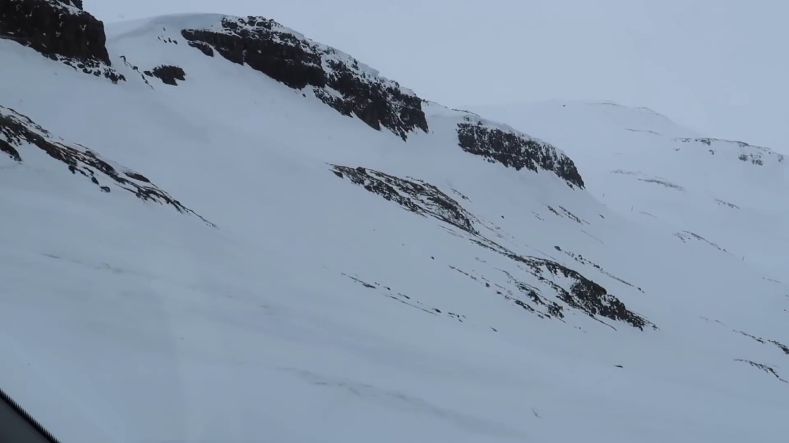
From our trip: we crossed the pass with ice on the road. One of us said that being the passenger is scarier because you have no control. The town is very cute. The next morning we had planned a waterfall hike, but there was snow everywhere, the wind was blowing and the visibility was bad, so we skipped it. This is why day 5 has slack in it.
Day 6: Egilsstaðir to Húsavík via Dettifoss
- Route and drive: Egilsstaðir to Dettifoss (161 km, about 2 h 20) and on to Húsavík (89 km, about 1 h 20). About 250 km, 3 h 45, plus the walk. Adding Ásbyrgi on the way costs about 12 minutes of driving.
- Stops: Dettifoss and, further up the river, Selfoss. The Vatnajökull National Park also has a campground at Ásbyrgi, with payment details on the park’s site.
- If the day is crowded: this is a long driving day, so cut Ásbyrgi and Selfoss.
- Realistic day: about 7 to 7.5 hours, with 3 h 45 of driving, 1.5 to 2 h at Dettifoss (a kilometre each way on foot, plus the viewpoints), a meal and fuel. Start by about 8:30 and it is comfortable. Ásbyrgi would make it a full day, which is why it is listed as a cut.
- Sleep: Húsavík. On the Camping Card list its campground has a 2026 opening date of May 15. If you are earlier than that, take a room, as we did.
- Check first: the park’s news page has carried a notice titled “Landslide by Dettifoss” (June 2025), so check it before you go.
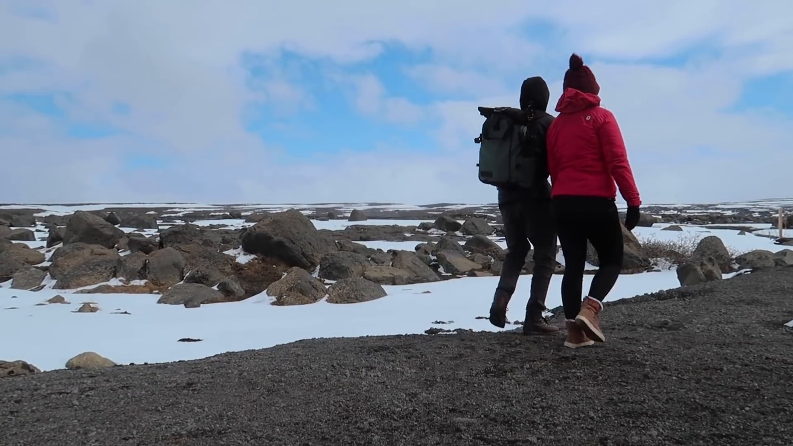
From our trip: the walk to Dettifoss is about one kilometre each way from the parking lot, and it was windy and cold. Beyond the main viewing platform you can walk to a second area at the top of the falls. In Húsavík we took a room at the Foss Hotel after about a week in the van, mainly to shower and repack. We came to Húsavík because of the Netflix movie Eurovision, but the bar from the film looked like it was renovating or closed. Most of the local restaurants were closed because it was Sunday, and the hotel’s restaurant was open.
Day 7: Húsavík to Akureyri via Mývatn and Goðafoss
- Route and drive: Húsavík to Hverir (64 km, about 1 h 10), Goðafoss (58 km, about 1 h 5) and Akureyri (36 km, about 40 min). About 157 km, 2 h 50.
- Stops: Hverir (a geothermal area with mud pots and steam vents), the road toward the Krafla crater if it is snow-free, Goðafoss, then Akureyri for groceries, fuel and water.
- If the day is crowded: skip the crater walk. Keep Hverir and Goðafoss.
- Sleep: Akureyri. The Hamrar campground says it is open all year round.
- Check first: snow on the road to Krafla, and stay behind the ropes at Hverir.
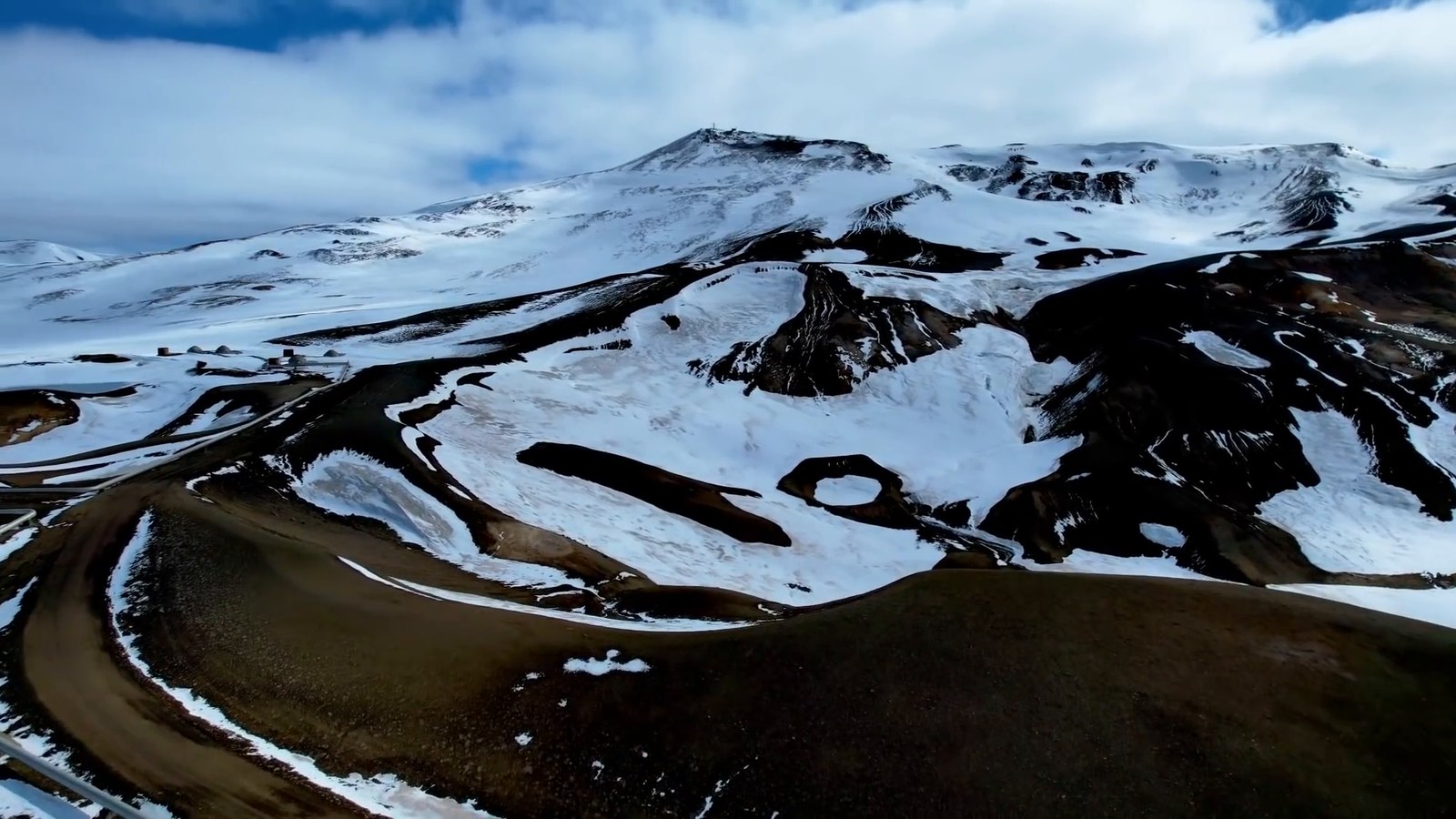
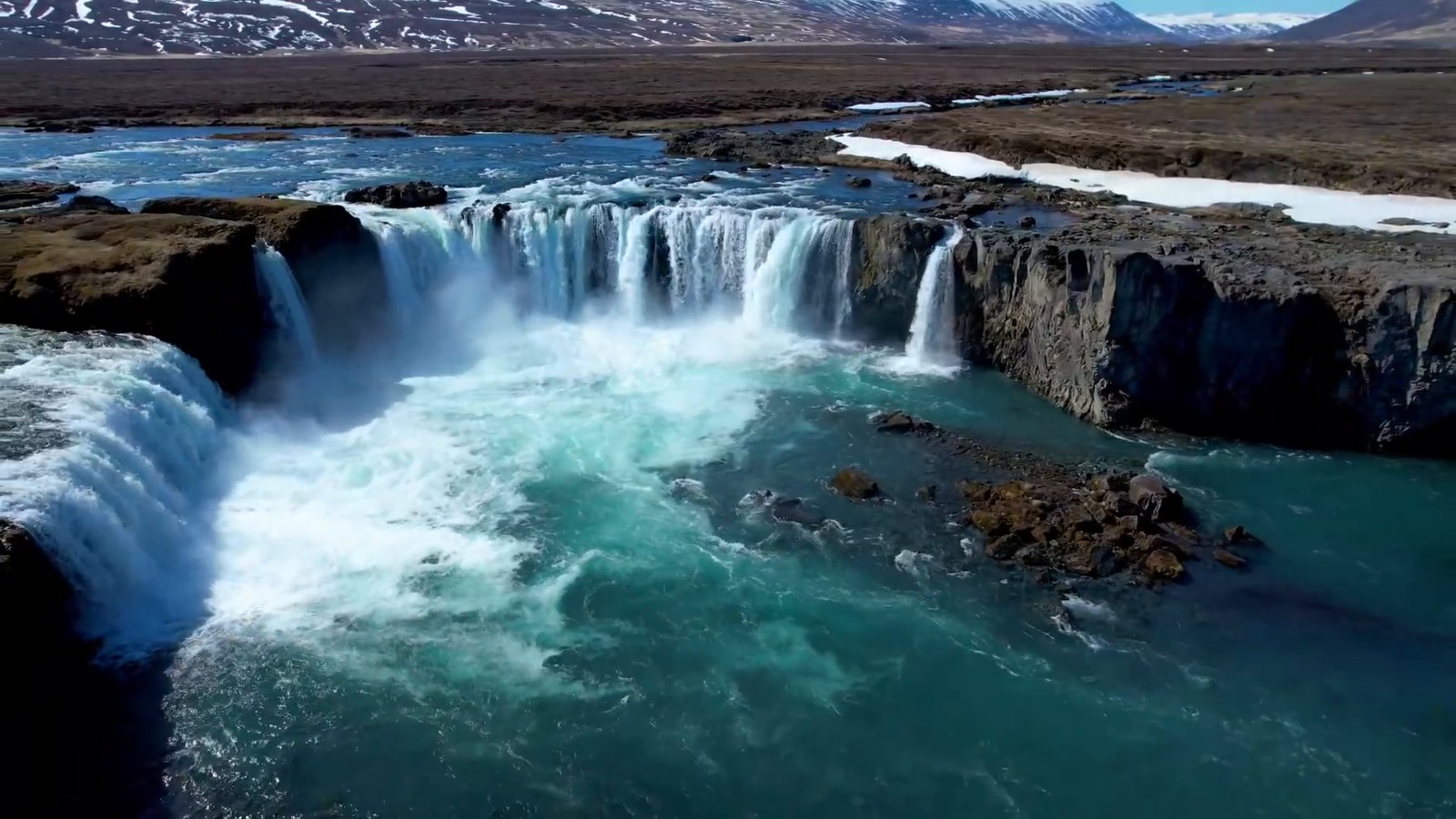
From our trip: it had snowed again overnight. The road to Krafla was covered in snow, so Kevin flew the drone to see whether the 20-minute walk was worth it, and it looked like everything worth seeing was under snow, so we skipped the crater. Hverir reminded us of Yellowstone, but you can walk much closer to the steam vents, and it smelled a lot like stinky eggs. At Goðafoss we parked on the east bank, where a stairway takes you down to the bottom of the falls, which you can’t do from the west bank. After five days of snow the sun was out, and we thought it was well worth a stop.
Day 8: Akureyri to Hofsós (short day)
- Route and drive: Akureyri to Grafarkirkja and Hofsós, about 135 km and 2 h by the fastest route in the mapping data.
- Stops: Grafarkirkja, a late 17th-century turf church rebuilt by the National Museum of Iceland. Hofsós is a village on the east shore of Skagafjörður.
- If the day is crowded: this is the plan’s easy day. If you are behind, skip it: Akureyri to Hvítserkur is 200 km, about 3 h, and it merges days 8 and 9.
- Sleep: Hofsós. The campground listing gives an opening period of 13 May to 12 September, has toilets and hot water, and mentions a swimming pool nearby.
- Check first: campground opening dates, as above.
From our trip: we took a scenic detour up the coast to look for a lighthouse, through several long one-lane tunnels with pull-outs (one of them seven kilometres long, and a semi truck barely fit in one). The detour added distance. At the church the roof is covered in grass, which we understood was how things were insulated in old Icelandic times. We camped in the woods a few miles further on, which is rare in Iceland and was our best campsite yet. We did not note the name of that campsite, so it is not a recommendation.
Day 9: Hofsós to Búðardalur via Hvítserkur and Guðrúnarlaug
- Route and drive: Hofsós to Hvítserkur (146 km, about 2 h 15), then on to Búðardalur (113 km, about 1 h 45). About 259 km, 4 h. Guðrúnarlaug is roughly the same distance from Hvítserkur as Búðardalur is.
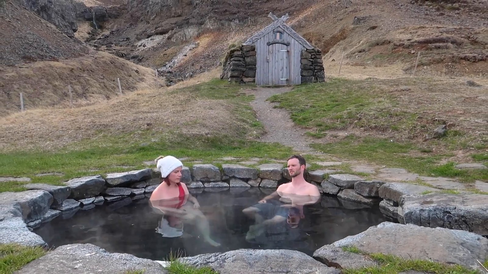
- Stops: Hvítserkur, a basalt column on a black sand beach, and Guðrúnarlaug, a hot spring.
- If the day is crowded: skip Hvítserkur, which is not on the way to anything, and soak at Guðrúnarlaug.
- Realistic day: about 6.5 to 7 hours, with 4 h of driving, an hour at Hvítserkur, 30 to 45 minutes at the hot spring and a meal. Hvítserkur is what costs time: Hofsós straight to Búðardalur is 213 km (about 3 h), so the detour adds about 46 km and 50 minutes.
- Sleep: Búðardalur. On the Camping Card list its campground has a 2026 opening date of May 1.
- Check first: the status of the campground at Guðrúnarlaug. It was permanently closed in 2021 while the hot spring was open.
From our trip: Hvítserkur was very windy and the slope down to the beach was slippery, but it was worth the trip. At Guðrúnarlaug the water was much hotter than at our first hot spring, and there was a sign saying the water could change at any time, so we stayed about 20 minutes and left. In our recap we called it probably our favorite hot spring of the trip.
Day 10: Búðardalur to Grundarfjörður
- Route and drive: Búðardalur to Stykkishólmur (87 km, about 1 h 20) and Grundarfjörður (39 km, about 40 min). About 126 km, 2 h.
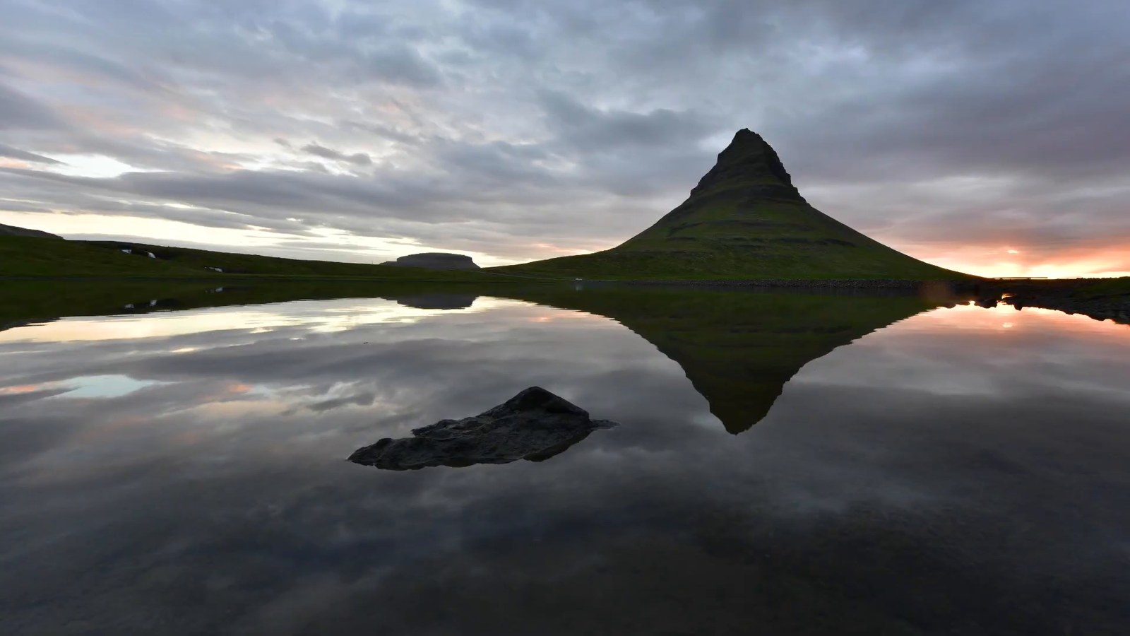
- Stops: Stykkishólmur (the harbor and a short walk up to the lighthouse), and Kirkjufell, the mountain and waterfall, at sunset.
- If the day is crowded: skip the Stykkishólmur stop, but do not skip Kirkjufell.
- Sleep: Grundarfjörður. On the Camping Card list its campground has a 2026 season of May 1 to September 15. Or a guesthouse.
- Check first: the surface of the roads your map app suggests on the peninsula.
From our trip: the morning we headed for Snæfellsnes we said we didn’t have quite enough time to go far into the Westfjords, because the rest of the trip had taken a bit longer than we expected. We drove about an hour on a dirt road on Snæfellsnes that we didn’t know was dirt, and Kevin spotted a shipwreck along the way, made me drive down a rough path toward it and flew the drone over it, until a couple of birds dive-bombed it. At Stykkishólmur we found a fish-and-chip cart at the harbor, and a short walk up to the lighthouse gives you a 360-degree view of the harbor. Kirkjufell was the busiest place we had seen so far. We booked a guesthouse room so Kevin could shoot the sunset, around 10:30 pm at that time of year. Guesthouses in Iceland are usually a private room with a shared bathroom, though some have a private one, so scroll down the room list if that matters to you.
Day 11: Grundarfjörður to Reykjavik via the Snæfellsnes loop
- Route and drive: Grundarfjörður to Svöðufoss (37 km, about 40 min), Saxhóll (9 km, about 10 min), Arnarstapi (34 km, about 30 min), then Reykjavik (194 km, about 2 h 55). About 274 km, 4 h 15 in total.
- Stops: Svöðufoss, Saxhóll crater, and Arnarstapi on the coast (Arnarstapi isn’t covered in our videos).
- If the day is crowded: skip Arnarstapi.
- Realistic day: about 6.5 to 7 hours, with 4 h 15 of driving, a 10- to 15-minute hike at Svöðufoss, a few minutes at Saxhóll, Arnarstapi and a meal.
- Sleep: Reykjavik area. A room is the easiest choice after the longest van day. Decide with your rental company whether to return the van tonight or keep it for days 12 and 13. We returned ours after our last van night and picked up a rental car for the last few days.
- Check first: Snæfellsjökull National Park’s site says service fees are now in effect, collected through parking charges.
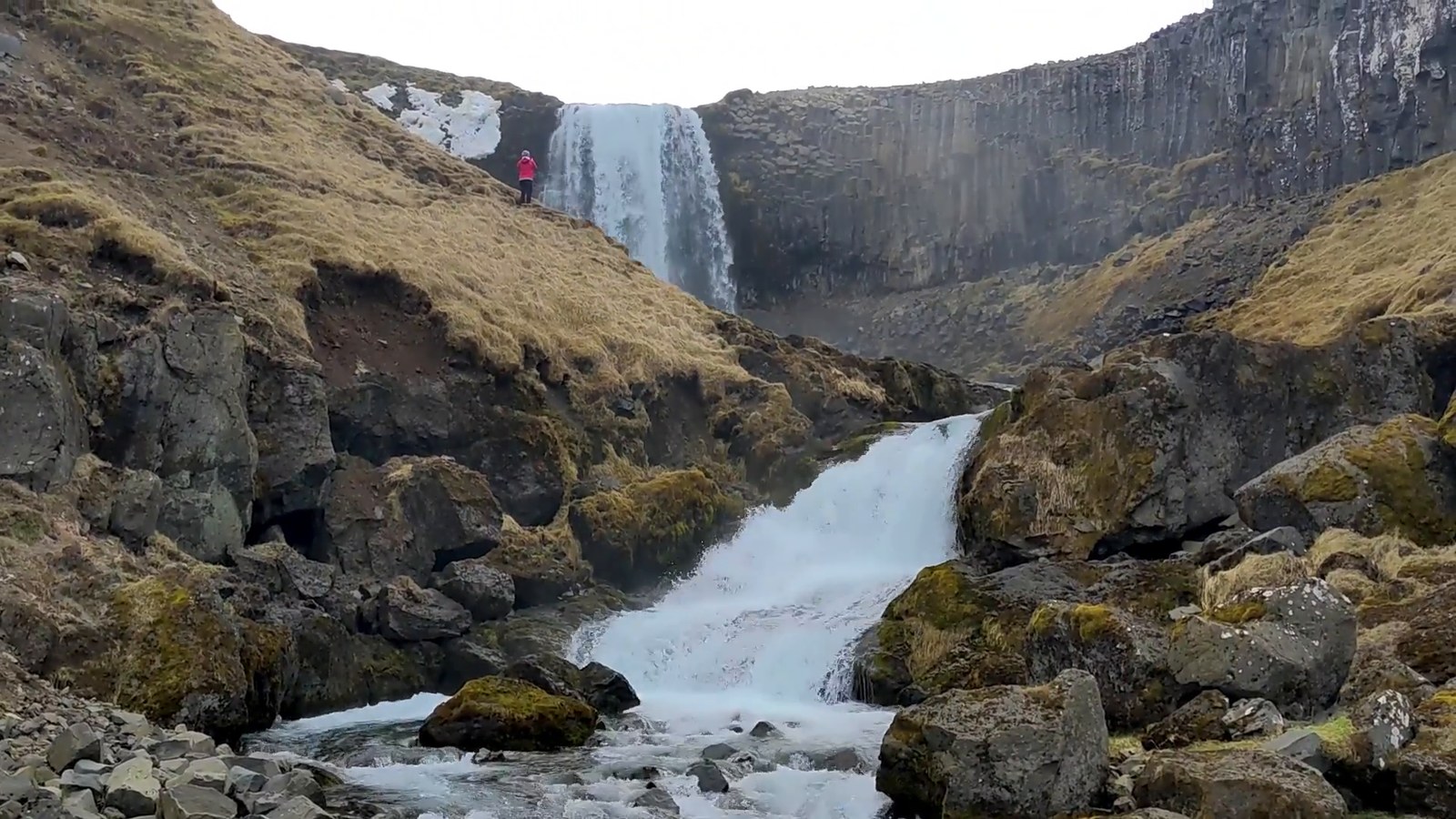
From our trip: the walk to Svöðufoss is a 10- to 15-minute hike through a farm field. We almost skipped it because of the wind and were glad we didn’t. At Saxhóll there are stairs built into the crater, and it only took a few minutes to get to the top. At the time we said national parks in Iceland were free to enter, but that is no longer what the park says. Along the coast we also stopped at a few places we didn’t vlog, including a black church.
Day 12: The Golden Circle
- Route and drive: Reykjavik to Þingvellir (48 km, about 45 min), Geysir (60 km, about 1 h), Gullfoss (10 km, about 10 min), then back toward Reykjavik by way of Friðheimar (27 km, about 25 min, then 99 km, about 1 h 30). About 245 km, 4 h in all. This is the standard Golden Circle order, and the return road passes Friðheimar and Kerið, so neither adds real distance.
- Stops, in order:
- Þingvellir is a national park where the Alþingi general assembly was established around 930 and met until 1798, on the Atlantic ridge. Allow about an hour and a half. The park’s site says a service fee is charged at the parking lots near the most popular attractions.
- Geysir is a geothermal area with marked paths. Strokkur is the main attraction, with small but powerful eruptions, while the original Geysir is dormant and was last known to erupt in 2016, according to the Environment Agency. Allow about an hour.
- Gullfoss is on the Hvítá river, and the water drops 32 meters in two stages into a canyon with walls up to 70 meters high. The site has a café and restaurant and pages for weather and road conditions. Allow about an hour.
- Lunch on the way back: Friðheimar, a family-run greenhouse restaurant that you can book online. Its site lists set kitchen hours, so plan to arrive well before the kitchen closes. Or Kerið, a crater lake with an entry fee on the same road, if you’d rather have a short walk than a sit-down meal.
- If the day is crowded: skip Friðheimar and Kerið and drive from Gullfoss straight to Reykjavik (117 km, about 1 h 50). Keep the three big stops.
- Realistic day: about 8.5 to 9 hours, with 4 h of driving, about 4 to 5 h at the stops, and a meal. It is a full day, which is the reason days 12 and 13 are separate.
- Sleep: Reykjavik area.
- Check first: the Þingvellir site for road condition and parking, Gullfoss’s weather and road page, and the Friðheimar booking page. Kerið’s entry fee is on its own site.
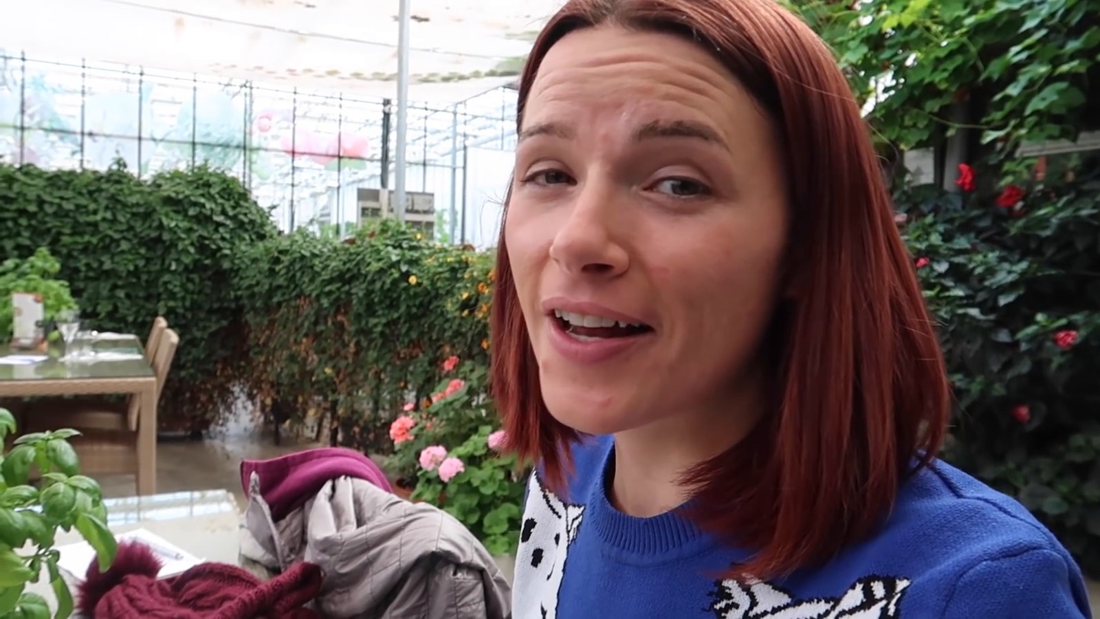
From our trip: we visited Þingvellir, Geysir and Gullfoss on this trip, but our videos don’t cover them, so everything I say about them here (history, geology, fees, conditions, timing) comes from their official pages and not from what we saw or did there. We also ate at Friðheimar, a restaurant inside a greenhouse where nearly everything on the menu is built around the tomatoes and cucumbers they grow. I had the all-you-can-eat tomato soup and a cucumber, lime-sorbet and sparkling wine drink called the Mary Poppins. The same day we also spent about an hour at Hrunalaug, a small hot spring on private land where entry is by donation box, which we had to ourselves. It is not needed for this day, but it is another option in the area.
Day 13: Buffer day, or the Blue Lagoon
- Route and drive: Reykjavik to the Blue Lagoon, 50 km, about 50 min.
- Use it for: a day lost to weather earlier in the trip, laundry and repacking, or the Blue Lagoon.
- Sleep: Reykjavik area.
- Check first: the Blue Lagoon’s site sells admission online, so look at what your ticket includes.
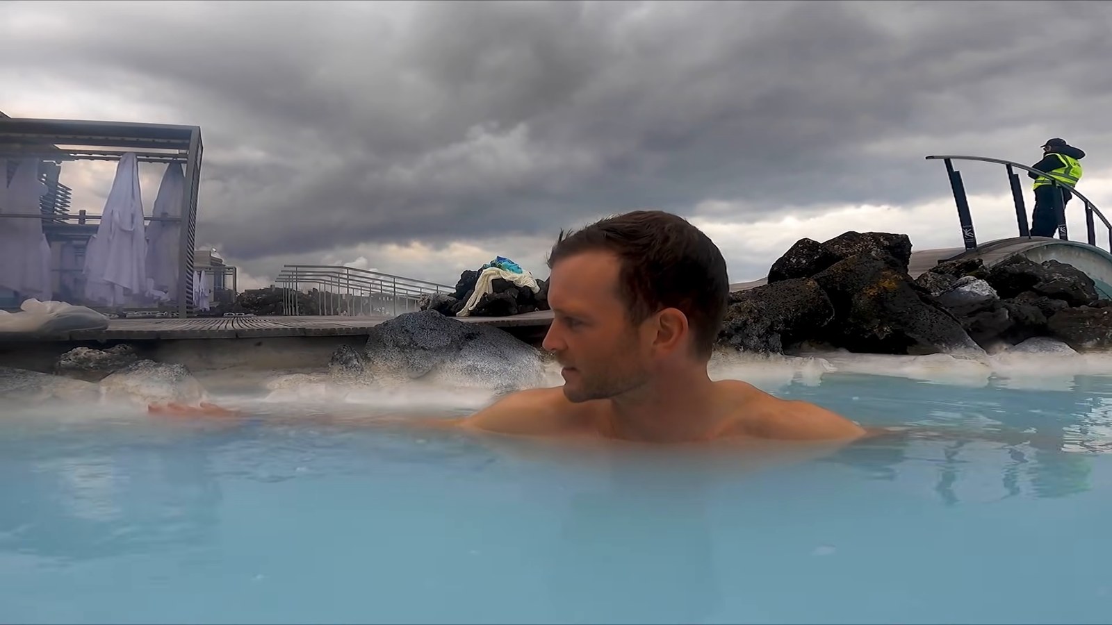
From our trip: we returned the van and went straight to the Blue Lagoon, and stayed for about two and a half hours. We booked the most basic package, and I thought it was worth it, although Kevin was skeptical at first. It felt like a good call after two weeks in a van and being cold.
Day 14: Return the van (if you still have it) and fly home
- Drive: short. Leave time to clean out the van, refuel and hand it back.
- Check first: your rental company’s return time and fuel rule.
From our trip: we cleaned out the van, went to the airport to pick up a rental car for the few more days we had left, filled the tank at the gas station next door to the Happy Campers office and handed the van back. When we first started, two weeks seemed like so much time, and it went by so fast.
If you have a different amount of time
- 10 days: this is a different route, not the 14-day plan with four days deleted. I tested that version, and it puts a 323 km day (4 h 45 of driving) on top of the Dettifoss walk, which is too much. The ten-day route: days 1 to 3 as above (Skógafoss, Kirkjubæjarklaustur, Höfn); day 4 from Höfn by Vestrahorn and Djúpivogur to Egilsstaðir (200 km, about 3 h 15), skipping Stöðvarfjörður and Seyðisfjörður; day 5 Egilsstaðir to Húsavík via Dettifoss, as day 6 above; day 6 Húsavík to Akureyri, as day 7; day 7 Akureyri straight to Búðardalur (267 km, about 3 h 55, with the Guðrúnarlaug soak in the same area), skipping Grafarkirkja, Hofsós and Hvítserkur; day 8 Búðardalur to Grundarfjörður, as day 10; day 9 the Snæfellsnes loop to Reykjavik, as day 11; day 10 return the van. There is no Golden Circle and no slack. If you lose a day to weather, drop the Snæfellsnes loop and drive from Akureyri to Reykjavik (383 km, about 5 h 40), which is a long driving day.
- 14 days: as written above.
- 16 days or more: the Westfjords are the obvious addition, and we did not go. By mapped distance, Reykjavik to Ísafjörður is about 459 km, roughly 6 h 40 one way. Budget several extra days and plan the route from official sources before you commit.
Where to sleep: campgrounds, closed campgrounds and the law
The Icelandic Environment Agency says it is illegal to spend the night in a camper van or similar vehicle outside organised campsites or urban areas unless the landowner has given permission. You can read the wording on its access rights page. We tried to follow the rules: the nights we spent in the van were at campgrounds, some of them not yet open for the season.
The season matters most in spring. In early May 2021 a lot of campgrounds hadn’t opened. In the closed ones we parked, weren’t charged and had no toilets, showers or running water. That is what we found in 2021, and I can’t tell you that it is still accepted, so ask the campground or your rental company. At the campgrounds that were open we paid per person, not per van.
Opening dates change every year, and these are the ones I could verify from the operators’ own pages. The Camping Card’s 2026 list shows April 1 for Seyðisfjörður, May 1 for Djúpivogur, Búðardalur and Grundarfjörður, and May 15 for Húsavík. The Hofsós listing gives 13 May to 12 September. Höfn, Egilsstaðir and Akureyri’s Hamrar say they are open all year, and Camp Egilsstaðir requires online booking from April to October. If you travel in the first half of May, this is what will bend your plan.
From our trip: we said in our tips video that campgrounds are generally open from about May to September, and in the north we noted that a lot of the summer campgrounds open on May 15. When a campground is open, the facilities can be good, like the one at Skógafoss with a toilet, running water and showers.
The van, and living in it
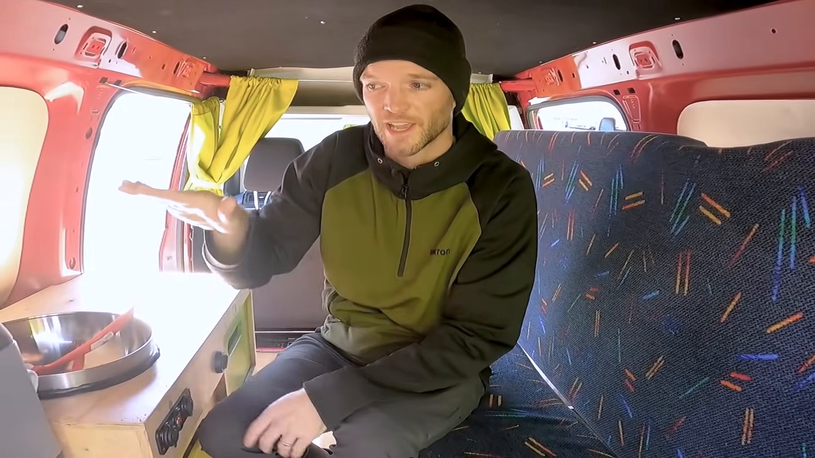
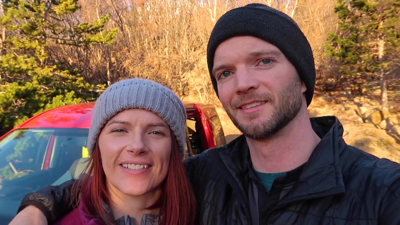
Our van was the smallest in the Happy Campers fleet at the time: a 2020 Volkswagen Caddy, diesel and automatic. Automatic mattered, because it meant I could drive it too. The kitchen was a little electric fridge, a sink with a hand pump, a portable one-burner gas stove and a set of pots, pans and dishes. The bench seat folded out futon-style into the bed, with pillows and blankets stored underneath and extra sleeping bags. There was a second battery, USB and 12-volt chargers and an inverter, which mattered because we had a lot of camera gear. My favorite feature was the heater, which runs off the battery. They told us we could run it six to eight hours a day, and as a California girl I fully expected to need it. Happy Campers gives you a tablet with the rental, loaded with an app for navigation, trip information and pre-loaded itineraries, and you can buy wi-fi through it. It worked well in the places we went.
What to check on yours: the heater and battery (ask how long it runs), what the stove and kitchen kit include, whether it is an automatic, what the breakdown and swap policy is, and how the company handles a problem on day one. Ours started smoking on the drive to our first campsite. Happy Campers is a family-owned business, and we called one of the brothers who owns it. After his mechanic weighed in, he thought it was a warranty issue that they’d been having with that model. It was safe enough to reach the campground, and the next morning they decided to swap the van and drove an hour and a half to bring us a new one. We called them the real MVPs. Happy Campers’ site currently lists a two-seat automatic VW Caddy among its models, alongside others, but models, extras and terms change, so check what is included before you book.
The honest part: it is tiny. When one of us wanted to do anything in the back, the other sat in the front seat. Every couple of days we took a room to shower, spread out and repack, because everything had exploded all over the van.
Food and money: cook in the van
The van was a big reason we could afford Iceland. On our first day we did a big shop at Bónus, the grocery store with the pig logo, and it lasted about a week. Krónan, across the road, had a bigger selection and was a bit pricier. We ate like college students: pasta, tuna mac, grilled cheese, ramen and burgers. After two weeks of it, we wanted a vegetable. Gas stations, especially the N1s, have little cafes attached and the famous hot dogs, and they are among the cheaper places to eat. We also passed on a tip about alcohol: it is expensive, it isn’t sold in grocery stores, and we picked up ours at the airport duty-free store because it was cheaper. Nearly everywhere took a credit card, and the only cash situation we had in 19 days was at the showers of a campground.
I haven’t quoted prices because they were 2021 prices and have changed. The van and the groceries were the two things that saved us money.
Driving the Ring Road: what to check
Iceland’s official driving guide covers the basics, and these are the parts that matter for this route:
- Weather and road conditions change fast, and winter conditions can happen in spring and autumn. Check Safetravel and the Road Administration’s road.is, or call 1777.
- Speed limits are 90 km/h on paved rural roads and 80 km/h on gravel, and headlights must be on at all times.
- Single-lane bridges have a 50 km/h limit, and the car closer to the bridge has the right of way.
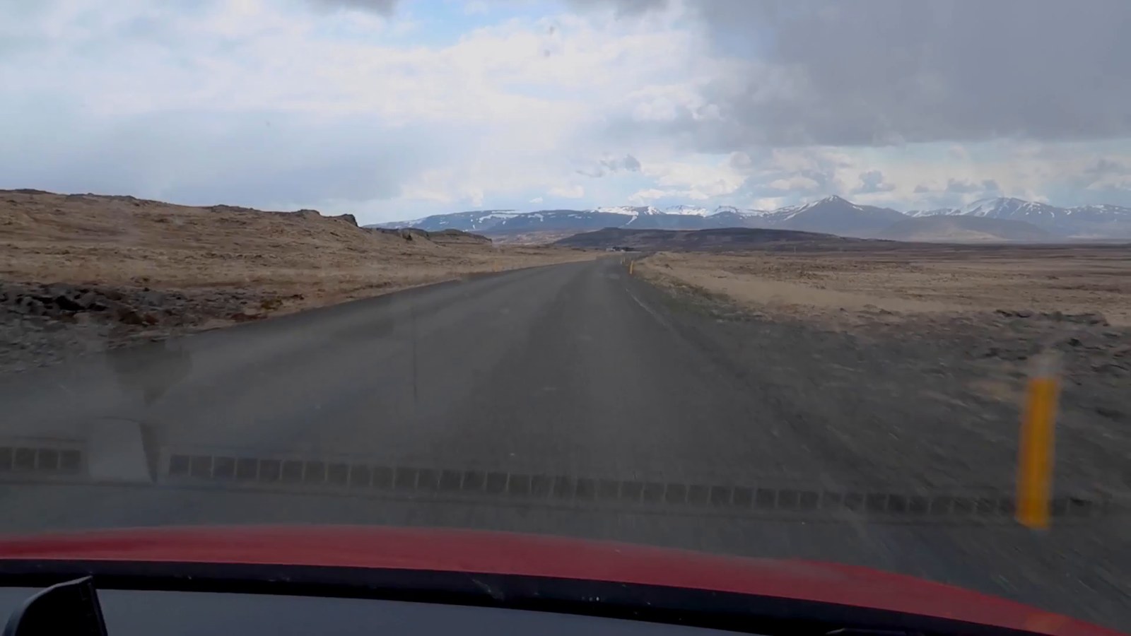
- Gravel roads: slow down before switching from pavement. We drove a dirt road on Snæfellsnes for about an hour without knowing it would be dirt.
- Highland roads (F-roads) open in summer depending on the snow, and the Road Administration publishes the conditions. They are not part of this plan.
- Don’t rely on a map app alone, because it may not show a closed or impassable road.
What we’d change
- We’d leave more days, because we didn’t reach the Westfjords and the trip took longer than we expected. This plan has two slack days for that reason.
- We’d plan for snow in early May and keep the East Fjords and the north flexible, since it cost us a waterfall hike and the Krafla crater.
- We’d pick up the van early in the morning and do the first day’s shopping before leaving the city, so a breakdown leaves time to fix it.
- We’d do Sólheimajökull on the way east and skip the backtracking.
- We’d take a room every couple of days, as we did.
- Kevin would probably skip the tricky drone shot near a waterfall.
Plan your trip
Affiliate note: this is an affiliate link. If you book through it, I may earn a small commission at no extra cost to you. If you’d rather not drive some of it yourself, you can browse tours from Reykjavik on GetYourGuide. Check what each tour includes before you book.
Affiliate note: this is an affiliate link. If you book through it, I may earn a small commission at no extra cost to you. For the nights you spend in a room at the start or end of the trip, you can compare places to stay in Reykjavik.
Frequently asked questions
Is two weeks enough for the Ring Road?
Yes. This plan uses about 11 driving days plus two days of slack. We had about two weeks in the van and still skipped the Westfjords, and in our video recap we said that the Ring Road is usually recommended as at least a week, and that more time is better.
Which direction should you drive?
We drove counter-clockwise, which we said in our recap is the most popular direction. This plan is written that way, and you can reverse it.
Is May a good time to drive the Ring Road?
It was good for us if you like empty waterfalls, but it was cold and snowy. We had snow on several days, some campgrounds hadn’t opened and the evenings were long. Check the campground opening dates above and the current road and weather pages.
Can you sleep anywhere in a campervan in Iceland?
No. The Icelandic Environment Agency says it is illegal to spend the night in a camper van outside organised campsites or urban areas unless the landowner gives permission.
What happens if your campervan breaks down?
Ours started smoking on the first evening. We called Happy Campers, who thought it was a warranty issue with that model, and the next morning they drove about an hour and a half to bring us a replacement. Ask your own company about its policy before you book.
Did you drive the Westfjords?
No. We ran out of time and went to Snæfellsnes instead.
Final thoughts
A 14-day Ring Road works best with buffer, flexible days in the east and north, and a bit of slack at the end. Ours had a smoking van, a crashed drone, snow on the wrong days and one skipped region, and we still had a great time. Give yourself more time than you think, keep the route flexible for the weather, and take a room now and then.
Read next: Campervan Hire Review: Travellers Autobarn and Planning International Travel: What to Research.
Affiliate note: this is an affiliate link. If you sign up through it, I may earn a small commission at no extra cost to you. Mountain roads, snow and a small van are a good reason to get travel insurance for your Iceland trip with SafetyWing before you go.
